Video PlayerClose

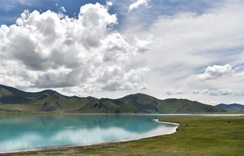
Aerial photo taken on Aug. 26, 2019 shows the Yimin River flowing through the Hulunbuir Grassland, north China's Inner Mongolia Autonomous Region. Located in the northeastern Inner Mongolia Autonomous Region, Hulunbuir, named after the Hulun Nur and Buir Nur, covers an area of about 253,000 square kilometers. It is home to more than 40 ethnic groups, including Han, Mongolian, Daur, Ewenki, Oroqen and Russian, etc. It boasts beautiful grasslands and vast forests, among which more than 500 lakes, over 3,000 rivers and large scale wetlands dot. The grassland, clear water, blue sky, white clouds, cattle and sheep have made Hulunbuir a famous tourist destination. (Xinhua/Peng Yuan)